-
Spatial Data Infrastructure(SDI)
Developing a framework of technologies, policies and standards that together facilitates the creation, exchange and use of spatial data in an organizational or meta-organizational level.
-
WebGIS
Developing of a web based application that enables users to create, edit, analyze, produce and share spatial data in different domains
-
Spatial Information Systems
Developing spatially-enabled software’s and applications to maintain and analyze the spatial data like Road Assets Management Systems, Power Distribution Management System, ….
-
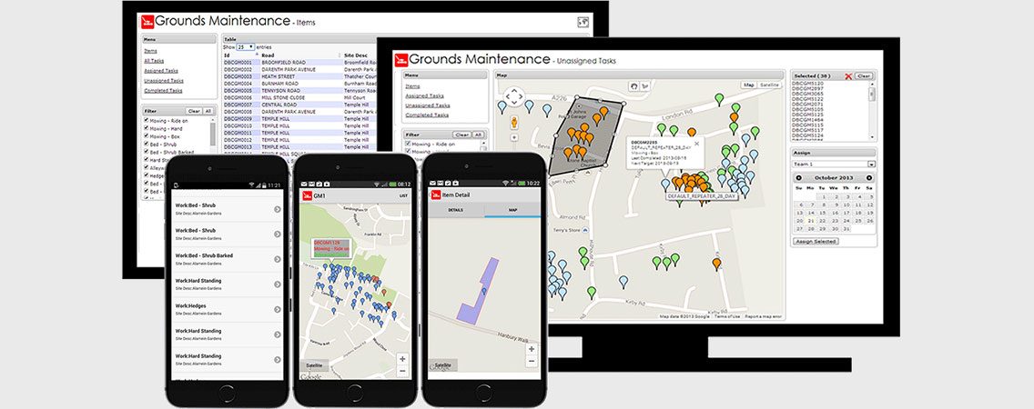
Mobile GIS
Design and develop mobile applications to facilitate field works, rescue operations and …
-
Spatial Databases
Design and implement spatial databased according to well-known standards to facilitate the use and boost the performance of spatial data analysis and sharing
-
Location Intelligence
Using spatial analysis in data mining to gain useful knowledge and to integrate it with BI and marketing concepts
آدرس:تهران، خیابان فاطمی، کوچه غزالی، پلاک 10، واحد 6
تلفن:
989125046704+
989121186076+